
New GNSS Monitoring Sensor
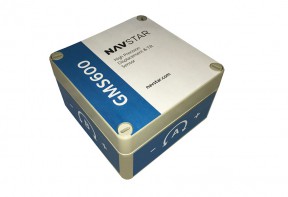
NavStar’s GMS600 is a compact, high precision GPS/GNSS sensor that provides accurate three-dimensional displacement and tilt measurements for deformation monitoring.
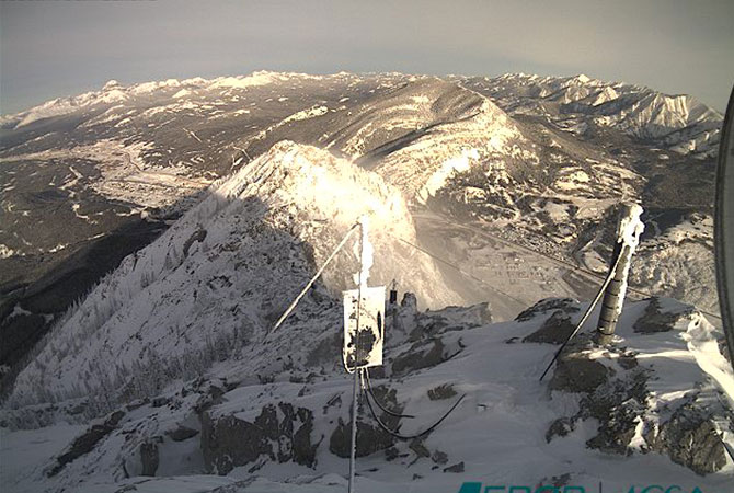
NavStar’s GNSS monitoring system has been in continuous use on Turtle Mountain, Alberta for over fifteen years. Despite the harsh conditions with temperatures regularly below -30°C, the system is capable of detecting millimetric levels of displacement in real-time.
NavStar is assisting researchers from Durham University’s Geography Department to monitor coastal cliffs using the GeoExplorer integrated monitoring system. The system now forms an integral part of a project aimed at understanding the mechanisms involved in the erosion of cliffs and developing new ways to predict slope failures.
NavStar has released a new range of sensors that provide major benefits when compared to the conventional monitoring hardware.
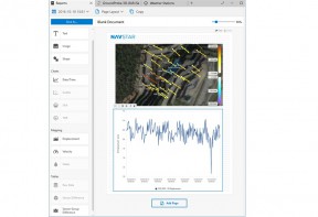
GeoExplorer's Advanced Reports Option allow you to present that information on customized templates that can easily be updated, reproduced and shared.

The NavStar VWL600 is a compact, ultra-low power, 8 channel vibrating wire reader for use with VW piezometers.
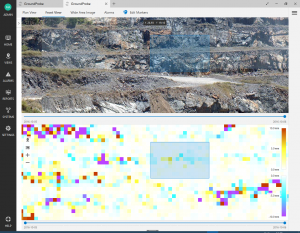
Our new GroundProbe Module seamlessly synchronizes radar data and alarms from GroundProbe’s SSR-Viewer software.
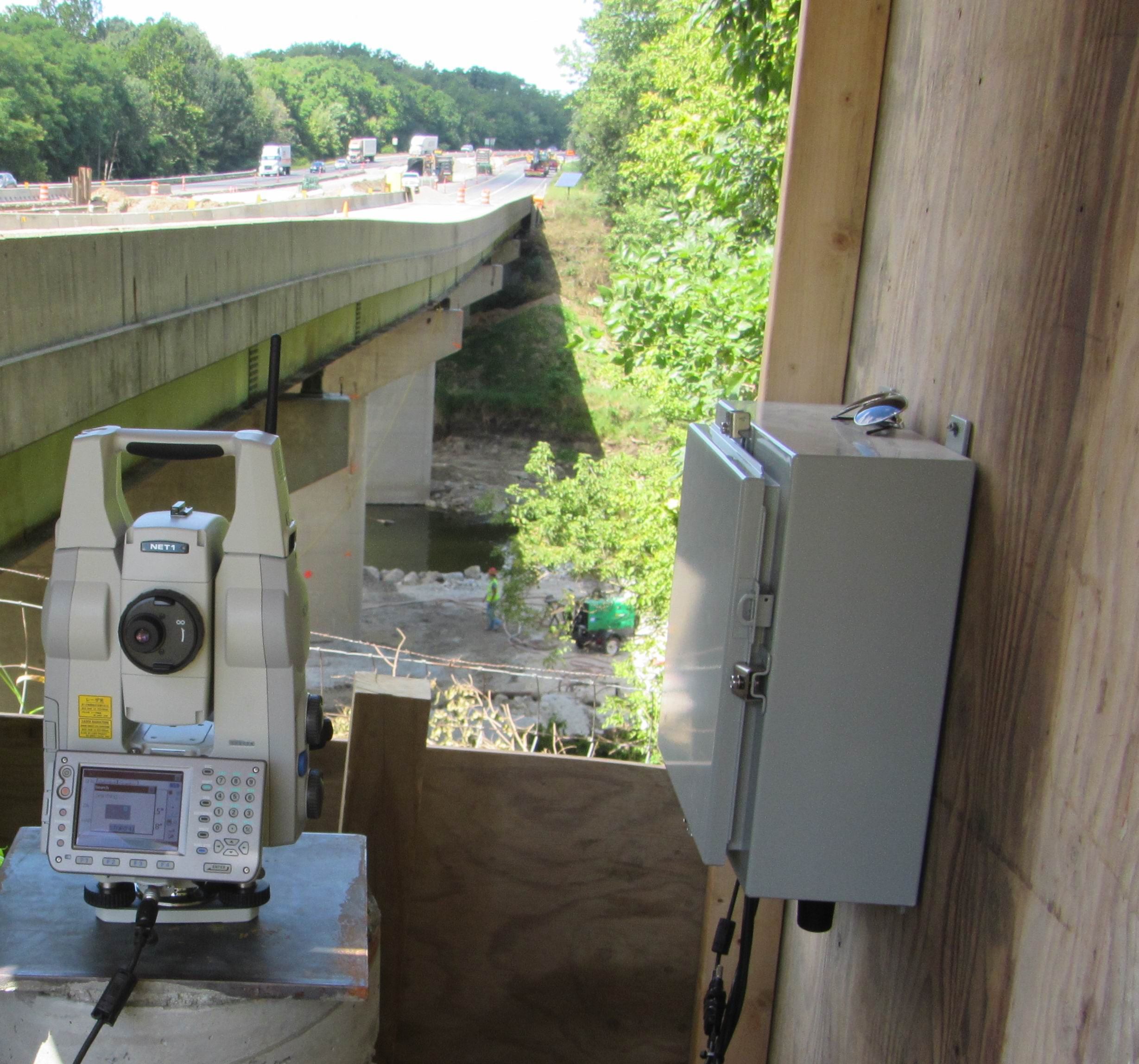
GeoExplorer's Prism Monitoring system has been successfully installed at the I-65 Bridge Project near Lafayette Indiana.
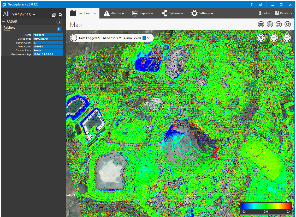
InSAR is a powerful technology for monitoring deformation over a large area with high precision.
With the release of our GMS300X series GPS units we have added mesh networking capabilities.