New GNSS Monitoring Sensor
April 5, 2018

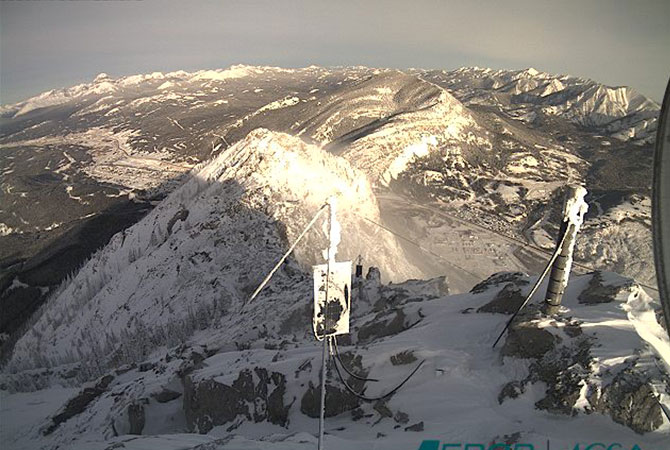
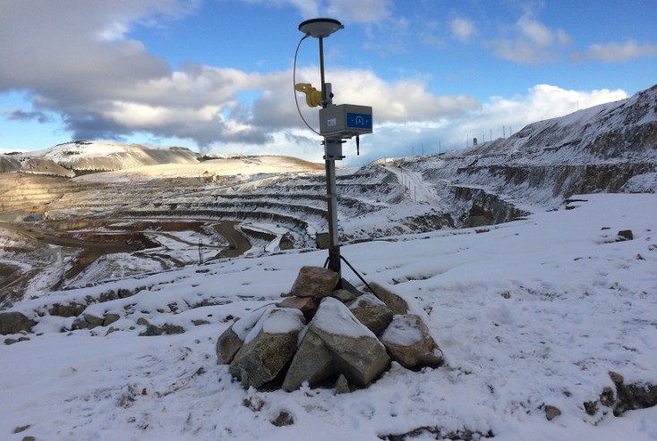
NavStar’s GMS600 is a compact, high precision GPS/GNSS sensor that provides accurate three-dimensional displacement and tilt measurements for deformation monitoring.

With no moving parts and the ability to provide 24/7 automated monitoring data in extreme climates, the GMS600 sensors are an ideal choice for monitoring slopes
and structures such as, open pit mines, dams, and landslides and other natural hazards.

  • Integrated tilt sensors
  • Wireless communication
  • Extremely low power consumption
  • Battery life in excess of two years
  • Small (6”/15cm cube) rugged enclosure
  • Simple setup and deployment
  • Zero configuration
  • Affordable, accurate and reliable

gms600setup_180405

Continue reading
Natural Hazards Monitoring at Turtle Mountain

NavStar’s GNSS monitoring system has been in continuous use on Turtle Mountain, Alberta for over fifteen years. Despite the harsh conditions with temperatures regularly below -30°C, the system is capable of detecting millimetric levels of displacement in real-time.

UK Office Now Open

NavStar is pleased to announce that we have opened an office in the United Kingdom.

GeoExplorer Advanced Reports Module

GeoExplorer's Advanced Reports Option allow you to present that information on customized templates that can easily be updated, reproduced and shared.