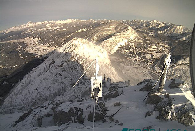
On the morning of 29 April 1903 Canada’s deadliest landslide claimed the lives of over 70 residents of the town of Frank, Alberta when 80 million tonnes of rock slid down Turtle Mountain and buried the eastern edge of the town. There remain concerns about the mountain’s stability and the threat it could pose to the town, the Crowsnest Pass highway and the Canadian Pacific Railway beneath it.
Alberta Geological Survey operates a intensive monitoring program to act as an early warning system and to provide data for research purposes. NavStar’s GNSS monitoring system forms an important part of this program and has been in continuous use for over fifteen years. Despite the harsh conditions with temperatures regularly below -30°C, the system is capable of detecting accurate displacement in real-time.
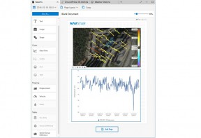
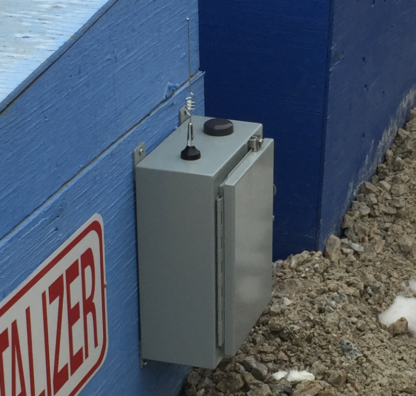
Ten of NavStar’s specially designed, solar-powered GNSS units are installed on the mountain and continuously stream data to NavStar’s remote server where it is processed to provide hourly updates of the displacement measurements at each location. The operating status of each unit (voltage, temperature etc.) is recorded and the GNSS monitoring is supplemented by webcams and weather stations. All of this data is presented using the GeoExplorer software.
Alarms are set on the three-dimensional displacement of the GNSS sensors and emails are automatically sent out to the relevant personnel if thresholds are exceeded. Triggers are also set to alert users in event that measurements are not received (latency alarms) or if the input voltage of any of the sensors drops below an acceptable level.


