A 30 mile long, northbound section of Interstate 65 near Lafayette, Indiana has been closed since August 7 due to safety concerns after the central pier of a bridge over Wildcat Creek sank 9 inches during construction work.
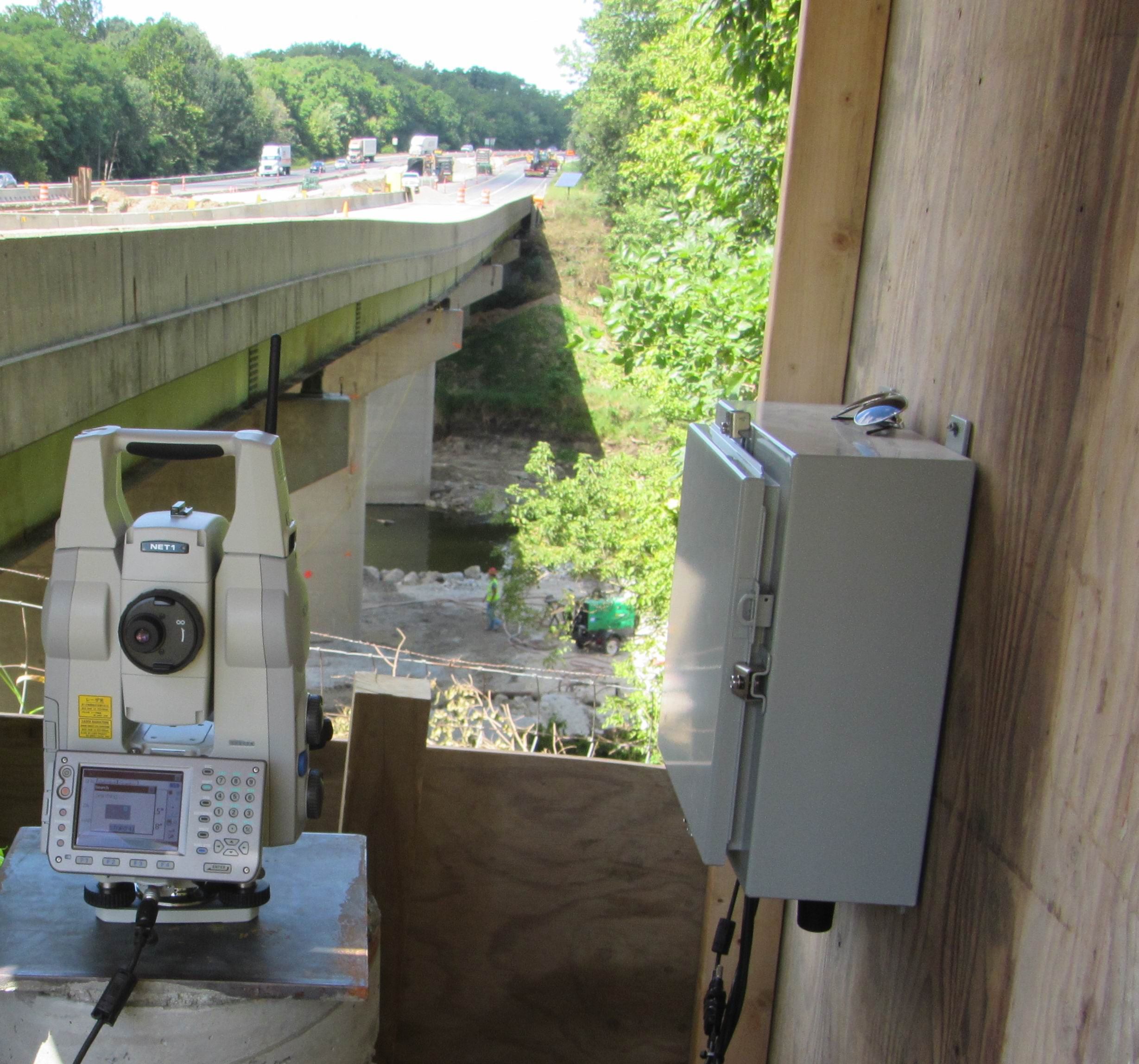
A NavStar technician visited the site on August 24 and successfully installed a prism monitoring system using a Topcon robotic total station. The work was completed to schedule and within just a few hours the system began providing real-time information on the movement of prisms sited on the bridge piers.
The monitoring project was established in collaboration with TBIRD Design Services and Topcon Positioning Systems.


