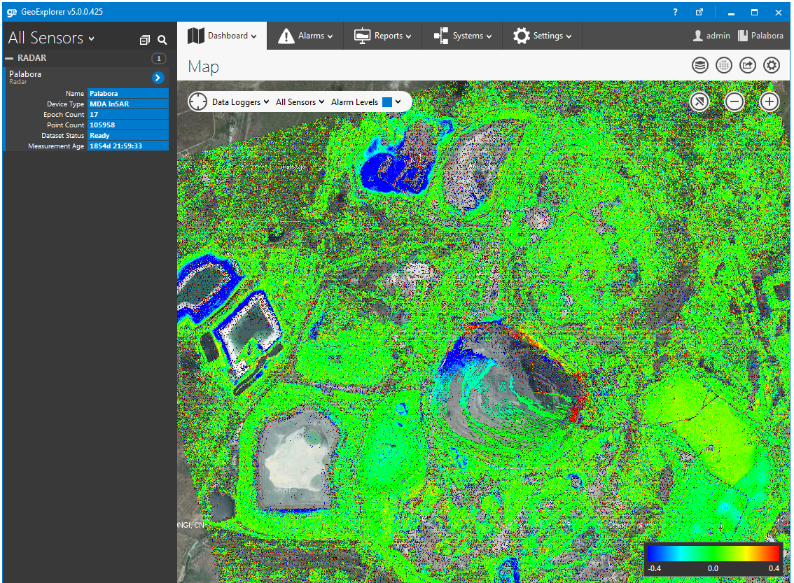
InSAR is a powerful technology for monitoring deformation over a large area with high precision. We are pleased to announce that we have added native integration for InSAR data collected by all the major providers. User friendly tools for loading and querying this data make it a valuable addition to our GeoExplorer software.

News ![]() InSAR Data Integrated Into GeoExplorer
InSAR Data Integrated Into GeoExplorer
InSAR Data Integrated Into GeoExplorer
December 19, 2014
GeoExplorer
Continue reading
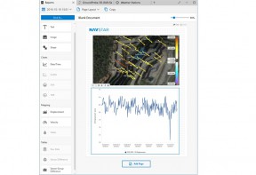
GeoExplorer Advanced Reports Module
GeoExplorer's Advanced Reports Option allow you to present that information on customized templates that can easily be updated, reproduced and shared.
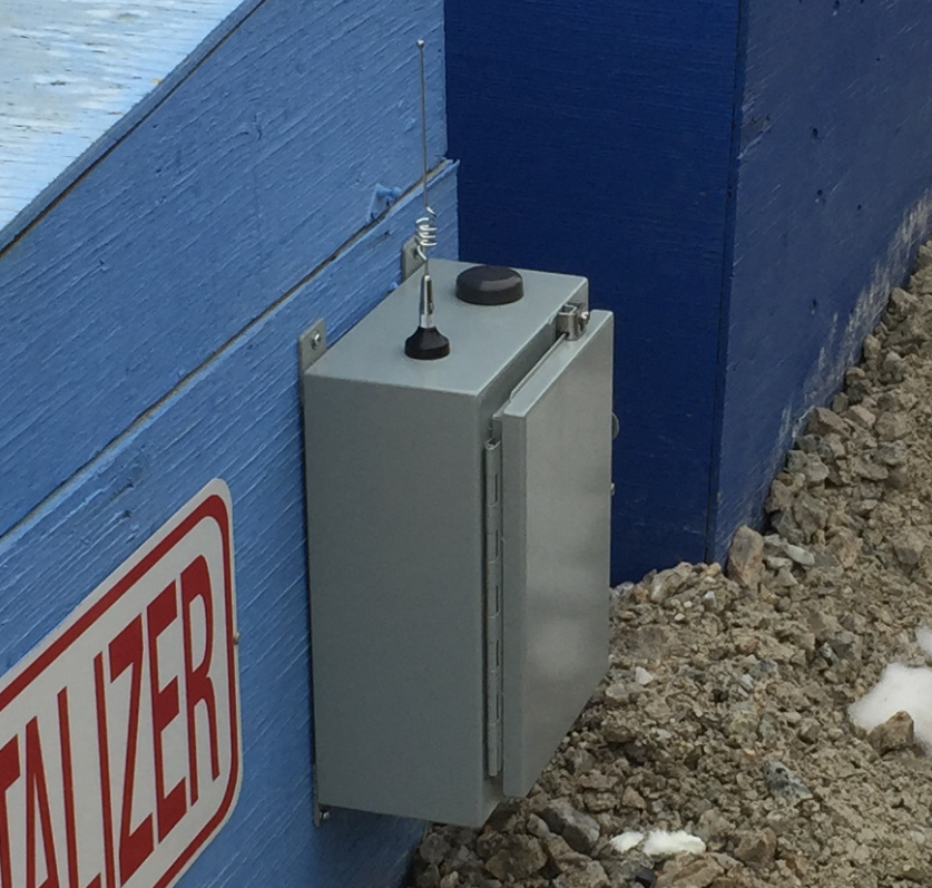
Wireless Mesh Network Support Added
With the release of our GMS300X series GPS units we have added mesh networking capabilities.
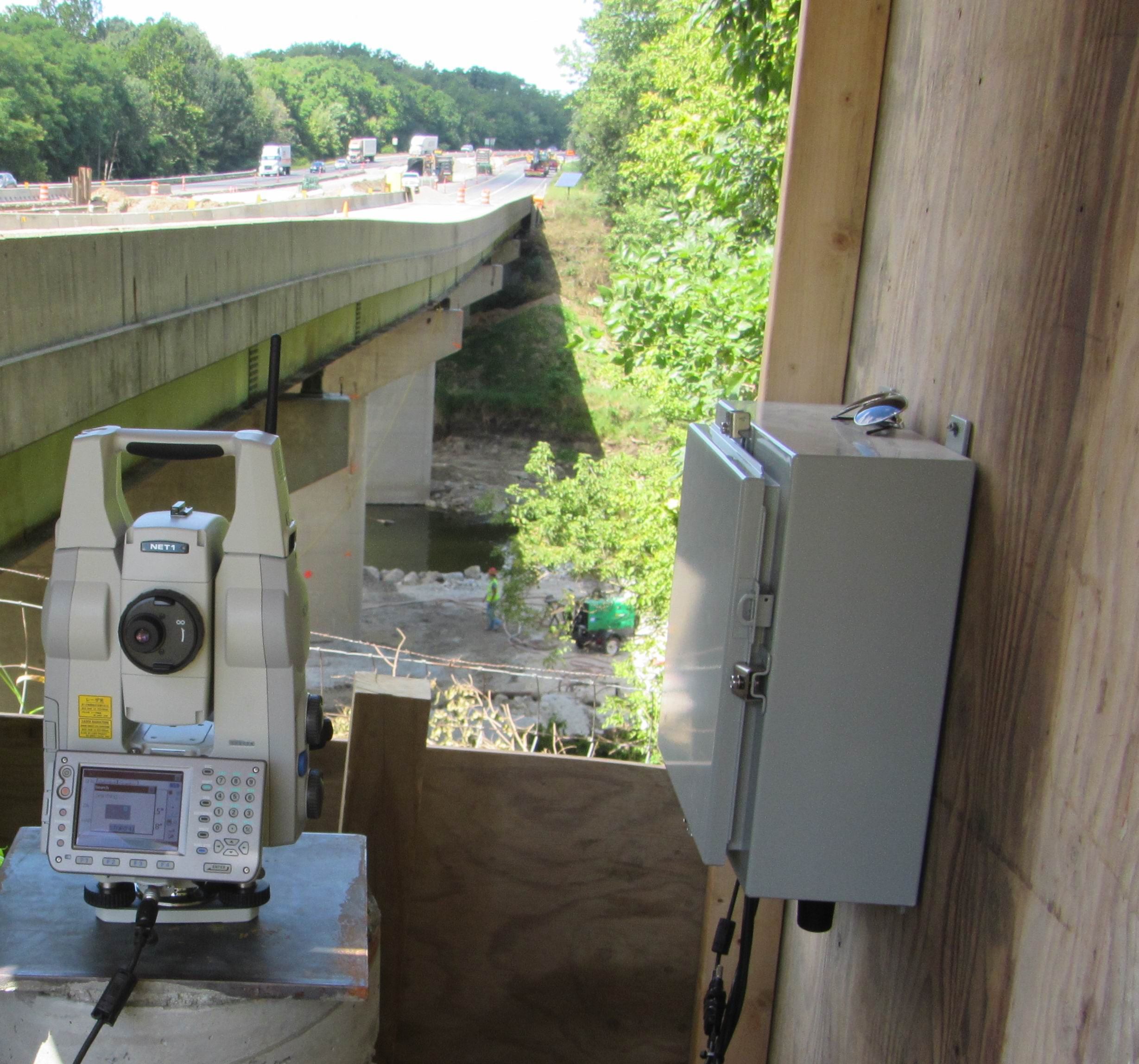
GeoExplorer Installed for I-65 Bridge Project, Lafayette, Indiana
GeoExplorer's Prism Monitoring system has been successfully installed at the I-65 Bridge Project near Lafayette Indiana.